Karanga-a-Hape
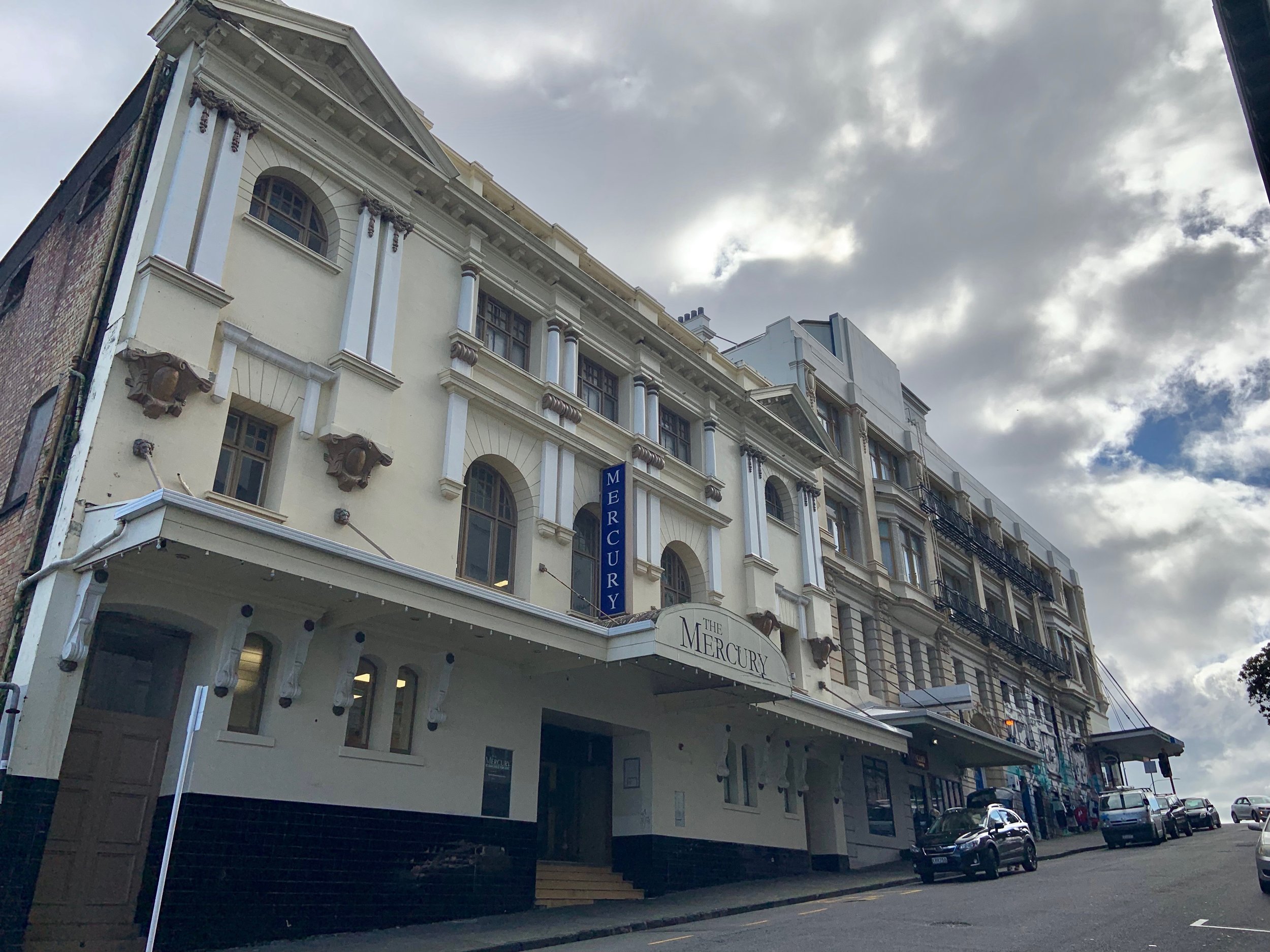
Rail is coming uptown to the area around Karangahape Road. The new station in Mercury Lane (above) will be the deepest of the City Rail Link stations at 33 metres deep and it will have 203m long platforms.
The underground platforms go as far as Beresford Square where there is another entrance.
The station will be great for the area. The redevelopment will unlock additional high-density residential capacity and generate urban renewal within the inner-city fringe catchment. This will provide housing stock to help reduce Auckland's housing shortage over time.
Meet your new station - the final design
Click on the image to see it full-size


The gifted name Karanga-a-Hape
Ko te pae tawhiti whāia kia tata, ko te pae tata whakamaua kia tina (Pursue the distant horizon while cherishing the knowledge and learning you attain along the way)
The name ‘Karanga-a-Hape’ is a grammatical correction of the current Karangahape.
Named for the great calling of Hape, who was left behind by his people when he was denied passage across the ocean in his waka (canoe). After performing a karakia he was gifted a kaitiaki (guardian) - a stingray - and together they crossed the water to arrive in Aotearoa ahead of the Tainui waka that left before them. The name Karanga a Hape, celebrates Hape’s call to welcome his own relatives who had denied him passage.
While all four CRL stations are designed around the creation story with Ranginui (the sky father) and Papatūānuku (the earth mother), Karangaa-Hape Station’s design also references their son, Tāne Mahuta, God of the forest, who pushed his parents apart to create light (day). Allusions to the kauri tree are shown through the large pupurangi shells on the entrance ceiling (these snails live on the tree's leaves).
Videos: Explaining the gifted station name
The naming process
New Zealand Geographic Board Ngā Pou Taunaha o Aotearoa names railway stations and invited the public to make a submission on proposals for the names of the City Rail Link stations.
These proposals were open for public submissions until 9 November 2022.
The decision was announced on 16 March 2023. Read their decision
Our design approach
Our design approach reflects our ongoing partnership with mana whenua.
City Rail Link is a world first for integrating mana whenua values, working collaboratively with eight mana whenua iwi to reflect and respond to cultural narrative.
Both the names and the designs are a unique expression of a cultural narrative for both the people and the city that hasn’t been seen anywhere else in the world, evocative of both people and place. They are quintessentially Aotearoa.
Design elements at the stations use a pattern language which aligns with the gifted te reo names, allowing the art, culture and other elements to converge. In some areas, the art manifests to reflect the cultural identity of the geographical location.
PLATFORM: Waiting on the platform at the new underground station
The holistic design process for the stations, in collaboration with mana whenua, allows for cultural expression in their design. Bringing together earth and underground elements and reflecting the culture of Tāmaki Makaurau we can create spaces that can only come from ‘here’, unique to New Zealand’s journey and history. The collective philosophy for the station designs is the Māori creation myth of Ranginui (the sky father) and Papatūānuku (the earth mother).
ENTRANCE: The Mercury Lane entrance to the new CRL station
The integration of public art throughout the station will showcase our unique cultures, contribute towards a positive user experience and create memorable experiences for Aucklanders and visitors alike.
The final designs of the stations also showcase the urban design around the buildings, extending the passenger’s experience into the surrounding streets. Significant engagement work, including gathering feedback from the last set of station designs, has been carried out and acted upon, to enable seamless, accessible travel to and from the stations.
The video below was about our initial approach. Some aspects may have changed in the final designs above.
History: The area just before our construction
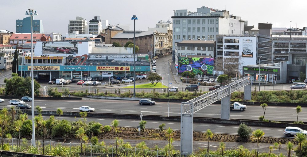
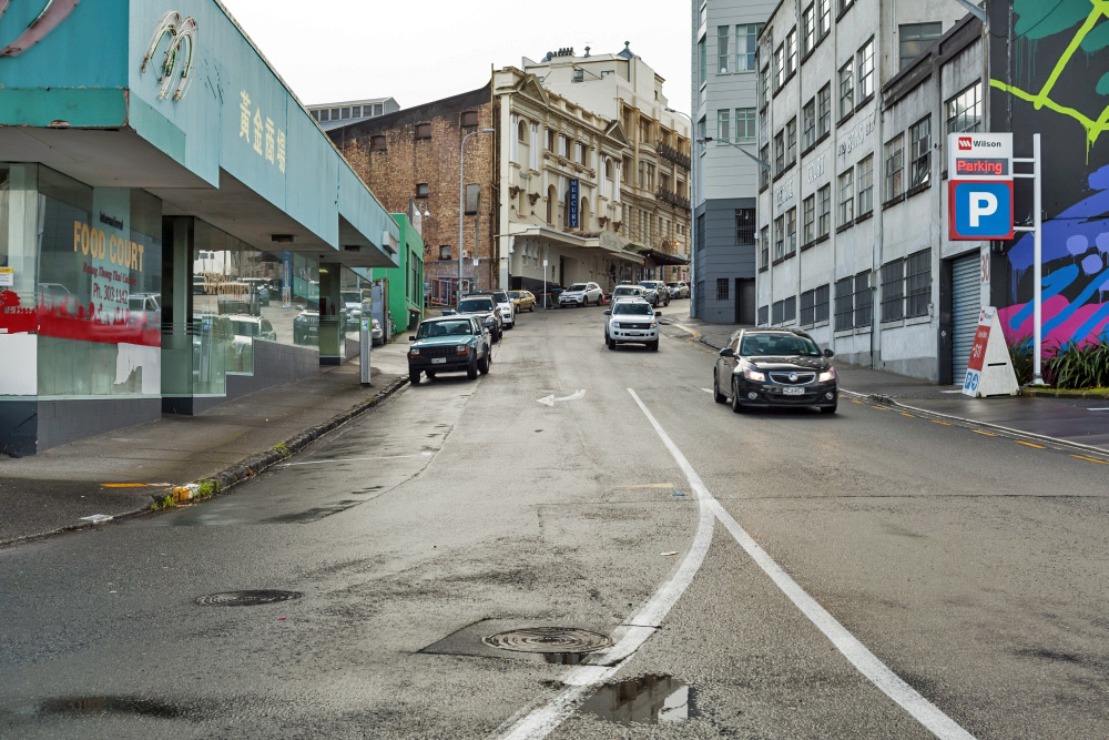
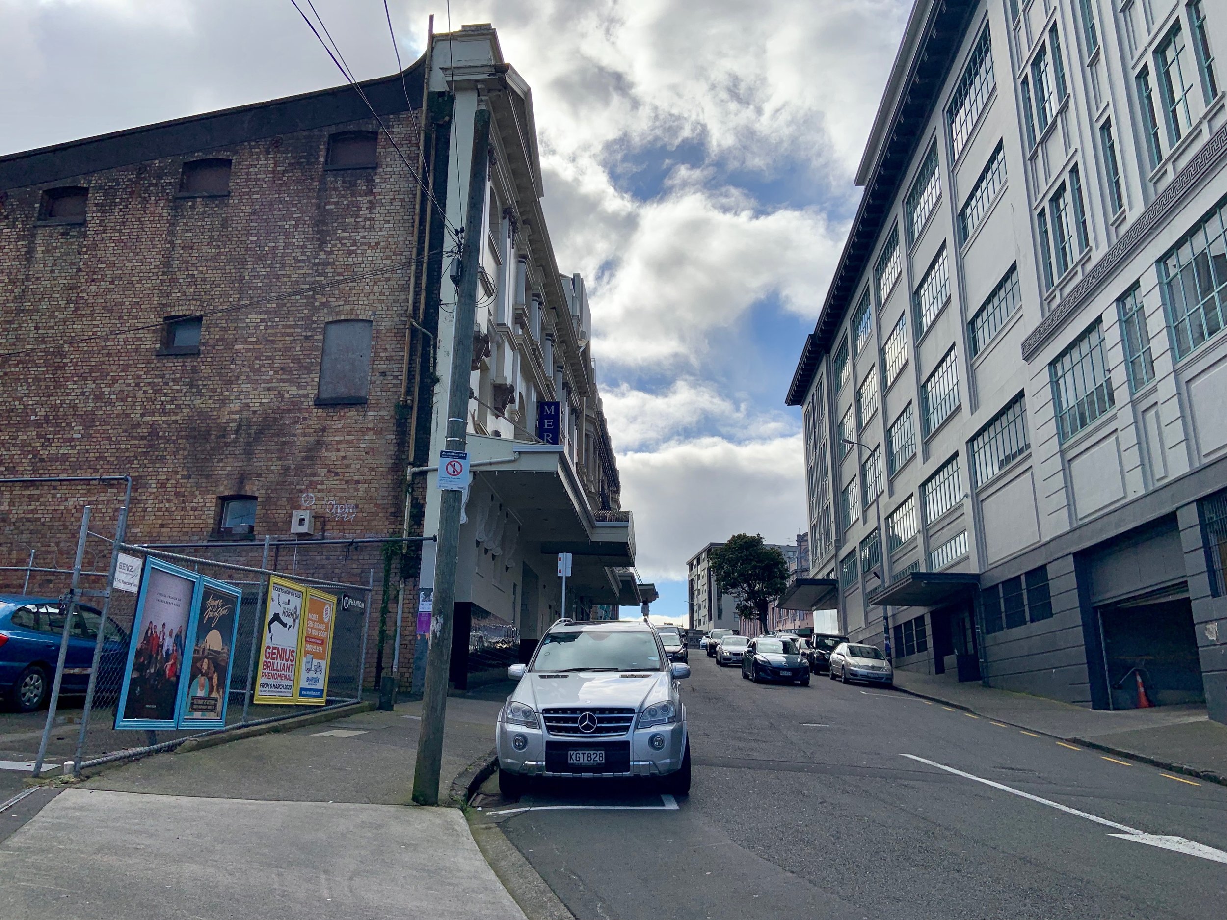
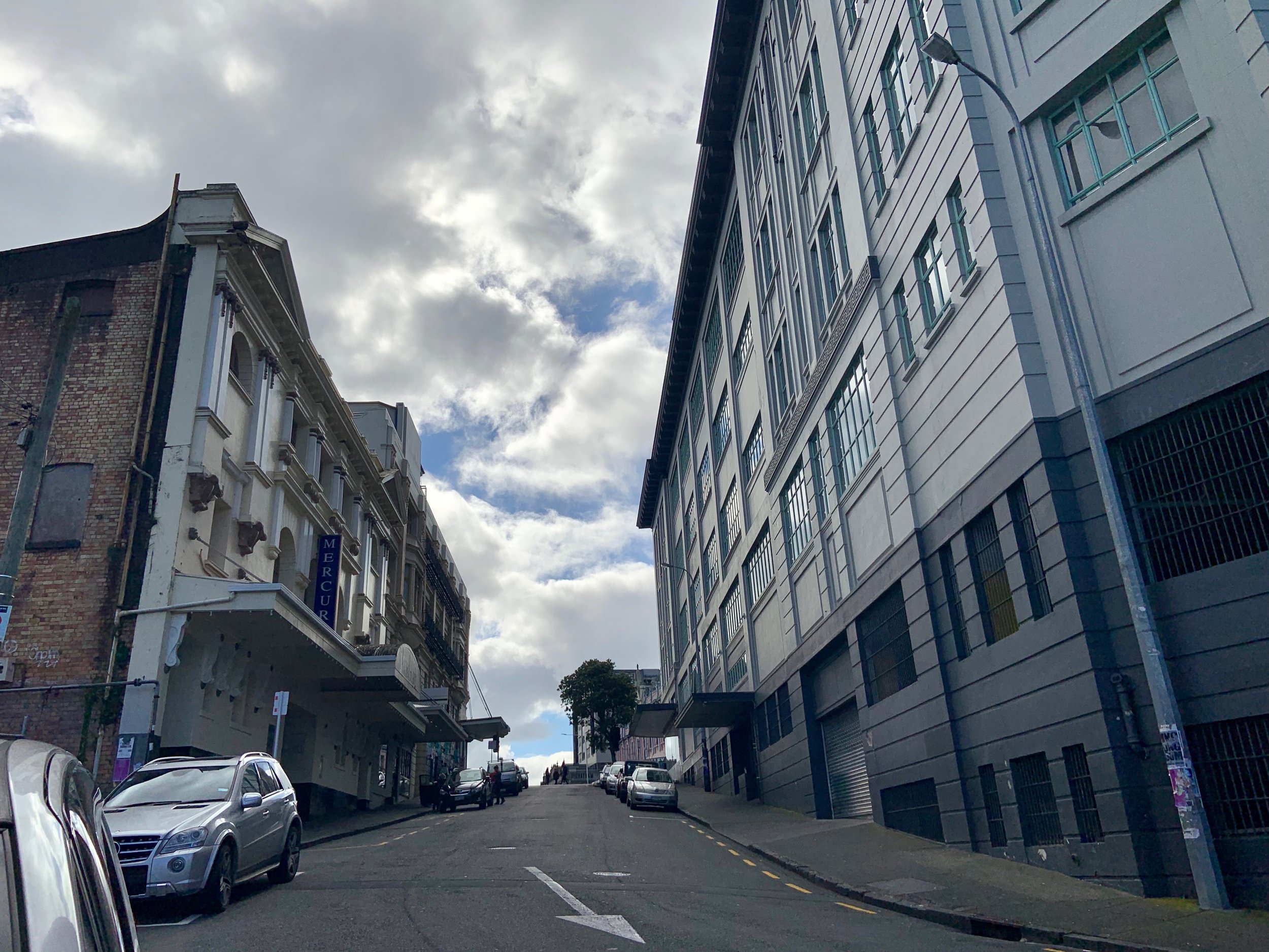
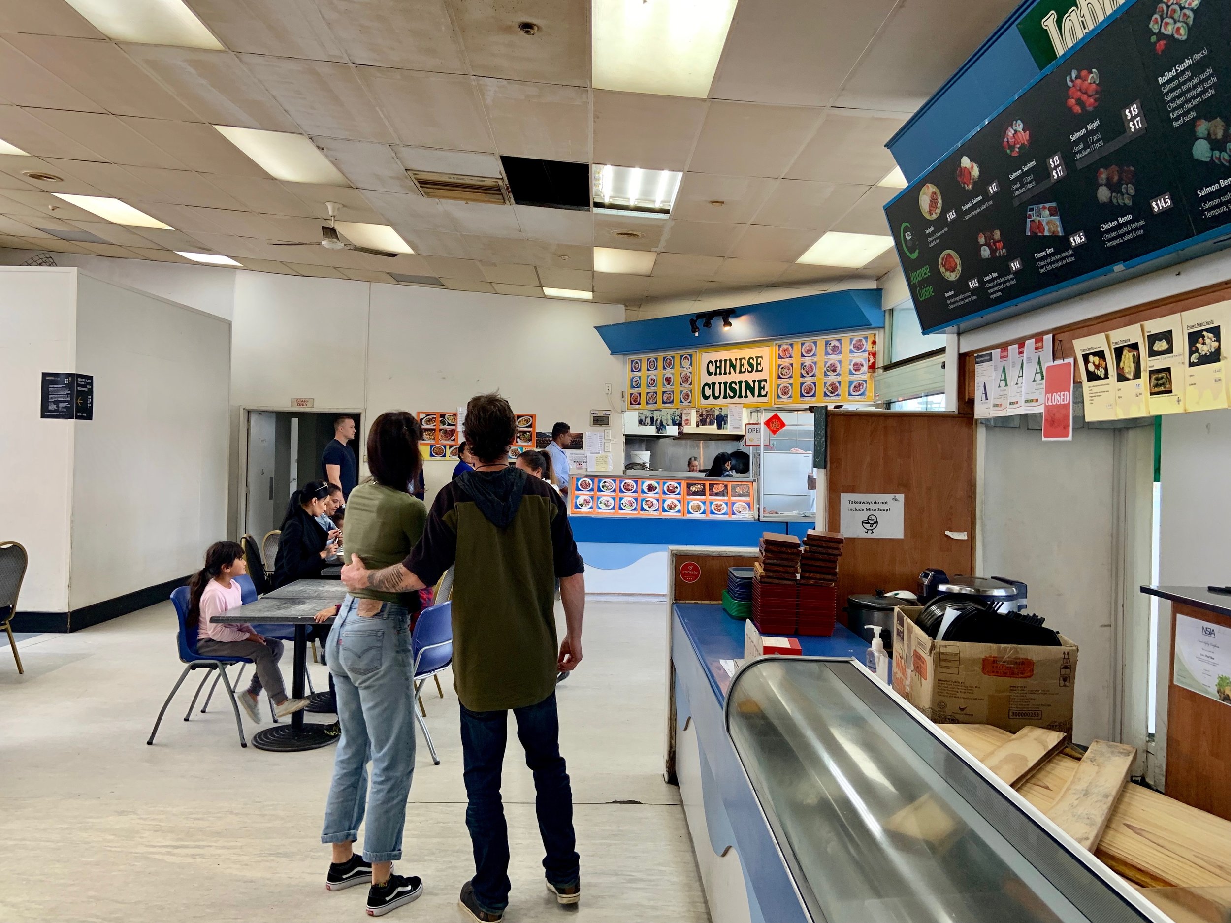
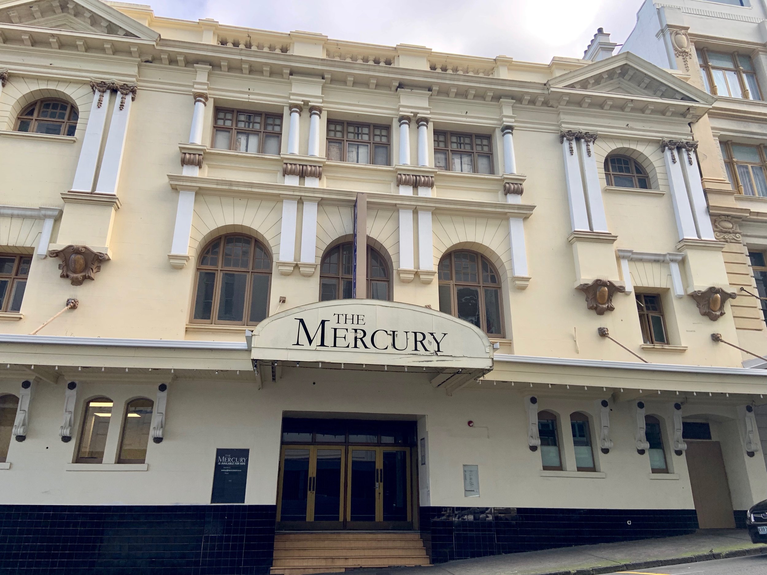
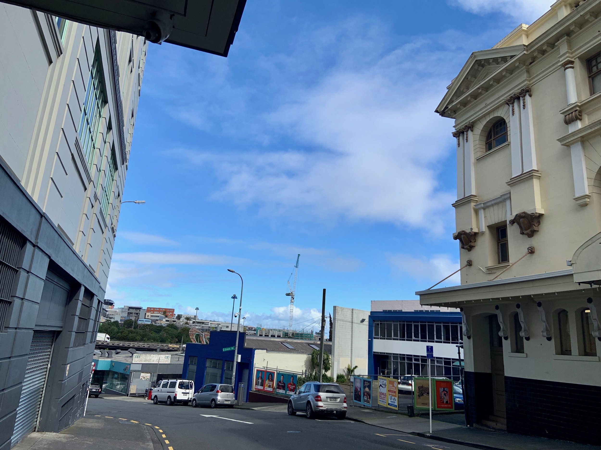
Beresford Square
Area History
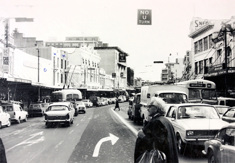
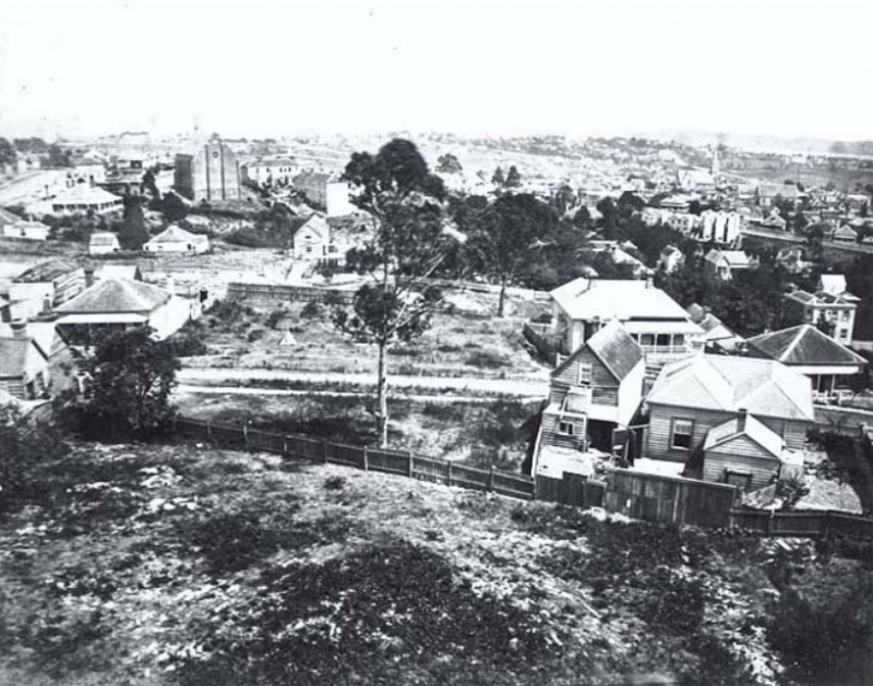
The Karangahape ridge and the valley to the south was a rural area outside the town of Auckland until well in to the 1860s.
However, the elevated north facing slope attracted wealthy settlers who built substantial houses - the first Government House was built on this ridge.
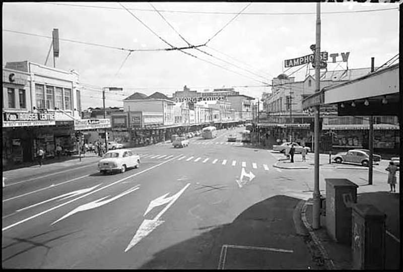
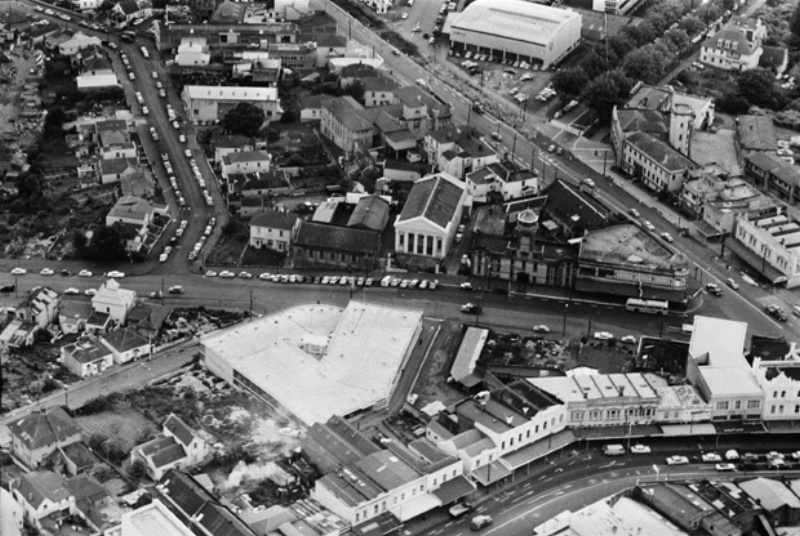
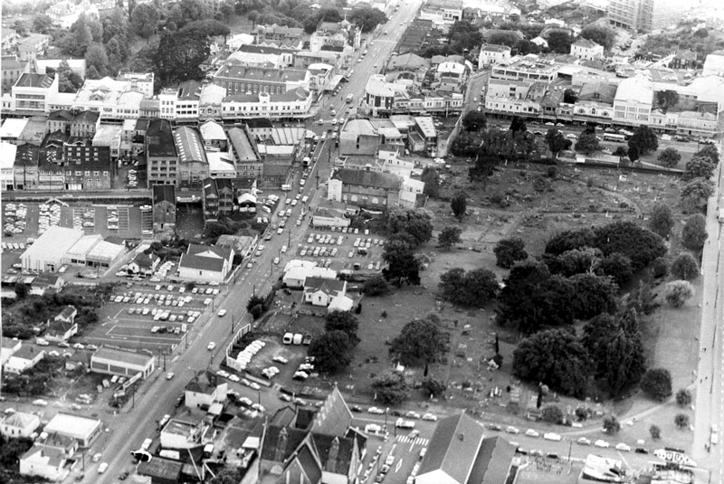
The Maori track along the ridge was the main route to the north and was developed into a road joining Great North Road. It was this traffic that attracted shops and other business to the crossroad of Pitt Street, Karangahape Road and Mercury Lane. This area, outside the main settlement but close enough to the centre of the city, was ideal for large sections to be allocated by the Crown to religious groups. Some still remain in the area today such as the Wesleyan or Methodist Church (1866), on the Pitt Street corner and the beautiful Hopetoun Alpha in Beresford Square, built by the Congregationalist Church in 1875.
In 1882 this area became part of Auckland City and over the following four decades Karangahape Road became a significant shopping area. The replacement of horse drawn trams by electric trams in 1902 added to the attractiveness of the area for shopping and brought people from outlying areas. Virtually all the tram lines from the outer boroughs travelled the Symonds Street or Karangahape Road routes.
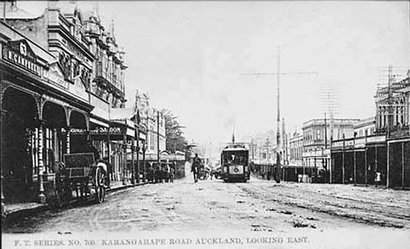
Post-World War I
After WWI, Karangahape Road developed a more sophisticated reputation as larger specialist stores appeared, supplementing the smaller shops that still supplied the local population. The Naval and Family Hotel on the corner of Pitt Street dates from 1897, although there is evidence that a hotel was on this site in 1865. The department store, George Courts, opened in 1914 on the corner of Karangahape Road and Mercury Lane.
The Karangahape Road area also became a centre of entertainment. Mercury Theatre was built in 1910 and in the 1920s cinemas and dance halls were popular.
In the latter half of the twentieth century red light businesses were attracted to the area.
The Auckland City Fire Station was built on the corner of Grey and Pitt Streets in 1901 on a site formerly occupied by the Lennox family home.
The St John Ambulance Station across the road was begun in the same year as part of the Fire Station complex. It was built in stages with the Beresford Street building erected in 1912. Designed for horse drawn fire engines, it enclosed a central courtyard with a large arched entrance. The tower was intended as a lookout over the city and for drying hoses. The Beresford building was converted to private dwellings in the 1990s.
Diversity
Indian and Chinese traders have always had business in the area. Further diversity of the population occurred in the 1960s and 1970s with the arrival of Pacific people in New Zealand. Many settled in the Ponsonby and Karangahape Road areas. Shops and other businesses selling island produce and clothing were set up to cater to this community. The Polynesian population replaced working class families who had left for the suburbs.
The department stores and other large businesses that dominated the street gradually relocated to suburban hubs or disappeared.
The Newton end of Karangahape Road was cut off by the motorway excavation which removed an entire block of shops.
The overbridge disrupts the continuous range of retail shop fronts that previously lined Karangahape Road unbroken from Symonds Street to Ponsonby Road.
Trams were part of Karangahape Road
Trams used to take passengers from Karangahape Road to Wellesley Street.
1920s K RD: Looking east from vicinity of bend opposite East Street down Karangahape Road, showing premises of Rendells Limited, George Court and Sons Limited, Hallenstein Brothers Limited, Sanford Limited, A S J Lamb, J A Bradstreet and J A Starmont and Sons. Also showing people hopping on tram headed for Wellesley Street (Photo: Sir George Grey Special Collections, Auckland Libraries, 1-W380)
This is film of trams in 1949 around the Karangahape Road and Queen Street intersection and the Baptist Tabernacle.


